AERPAW
Aerial Experimentation and Research Platform for Advanced Wireless
![]()
Platform Now in General Availability for Research
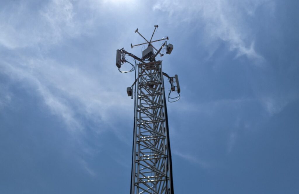
AERPAW is a first-of-its-kind aerial wireless experimentation platform with the goal to accelerate the integration of unmanned aerial vehicles (UAVs) into the national air-space, and to enable new advanced wireless features for unmanned aerial system (UAS) platforms, such as flying base stations for hot spot wireless connectivity. As part of this effort, AERPAW is developing a software-defined, reproducible, and open-access advanced wireless platform with experimentation features spanning 5G technologies and beyond.
AERPAW is led by North Carolina State University (NC State) in partnership with the Wireless Research Center of North Carolina, Mississippi State University, RENCI, the city of Raleigh, and many other academic, industry and municipal partners.
Read about the Phase 2 Expansion!
![]()
AERPAW Interactive Coverage Area Map – Click icon at top left for details
![]()
NETWORK RESOURCES
View the architecture diagram here or scroll down to see a list of basic resources.

Click to enlarge
RESOURCES
Centennial Campus (ground experiments only)
- 3 fixed nodes with SDRs
- 5 rooftop Facebook Terragraph nodes
- Keysight RF sensors
Sandbox
- Keysight Propsim
- SDRs supporting emulation and including support for OAI and srsRAN stacks
Experimentation Software – Software for SDRs includes OpenAirInterface, srsRAN, GNU Radio, and Matlab. Experiment software runs on docker containers at fixed/portable nodes.
Spectrum – Current spectrum bands for aerial use include 1.7 GHz, 2.1 GHz, 3.4 GHz
Click here to visit the AERPAW website.
![]()
SAMPLE AVENUES OF RESEARCH
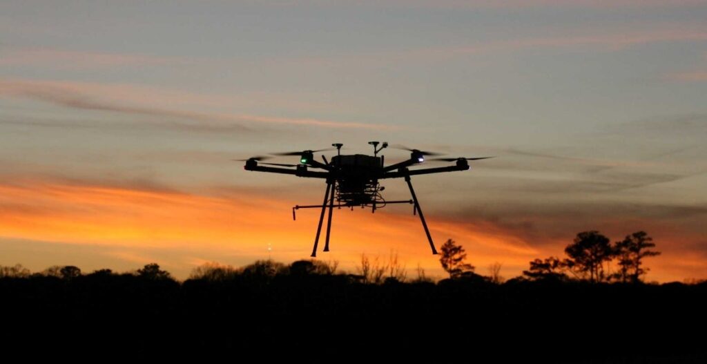
Testing of 5G Links for Drone Communications
The ensure the effective use of 5G communications by UAVs, researchers must test 5G links with a variety of network traffic types including telemetry, command and control, and payload (multimedia). AERPAW provides the hardware, software, and flight capabilities to run these experiments and optimize parameters for improved performance.
Air Corridors Drone Link Emulation
AERPAW’s emulation system enables the testing of flight scenarios where UAVs are required to avoid collisions and reroute around obstructions.
5G-Enabled Smart Agriculture
5G drone communications will support remote video monitoring of crops and livestock. AERPAW’s agricultural sites and testbed equipment make it possible to test this functionality both to optimize performance and determine what insights can be gained.
![]()
SELECT PUBLICATIONS
Check out a list of publications citing AERPAW here.
![]()
Click here to visit the AERPAW website.
AERPAW is part of the National Science Foundation’s PAWR program, and is funded in part by NSF award CNS-1939334, and by the PAWR Industry Consortium