AERPAW Wireless Datasets for Public Use
Learn more about recent wireless datasets published by the AERPAW team including:
- Spectrum occupancy measurements taken from a helikite between at an altitude of 300 meters and 180 meters in the frequency bands between 85 MHz and 6 GHz
- Rural air-to-ground channel measurements at 3.3 GHz at varying altitudes, signal bandwidths, and locations
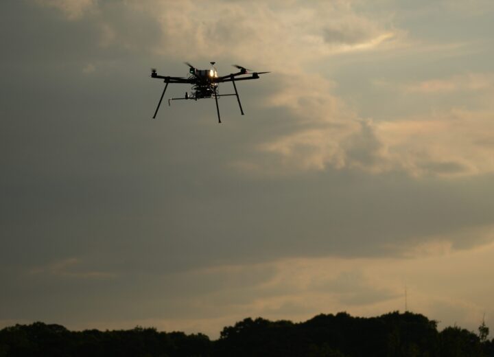
AERPAW helikite spectrum measurements: 85 MHz to 6 GHz

The AERPAW team collected data by flying a helikite in an urban environment at an altitude of 180 meters, and in a rural environment at an altitude of 300 meters. Flight time for each set of measurements lasted approximately six hours. The helikite was equipped with a software-defined radio (SDR) and global positioning system (GPS) receivers. Spectrum monitoring was conducted using a USRP B205mini with continuous spectrum sweeps (15 seconds each) conducted up to 6 GHz. Power measurements were logged across various frequency bands. These datasets also include post-processed results using Matlab with a focus on spectrum occupancy across different bands and analysis of the impact of altitude on spectrum sensing outcomes.
These datasets are valuable for use cases such as enhancing spectrum management, environmental and geographical spectrum analysis, and spectrum occupancy modeling at all sub-6 GHz Bands.
Example: enhancing spectrum management
Implementing small cells requires balancing coverage, spectrum, and power utilization. Advanced analytics machine learning (ML) algorithms can effectively find the most optimal deployment options and can be trained using datasets like the one above. New datasets at altitude are particularly important as researchers examine how best to use drones and other flight craft as wireless network nodes.
AERPAW rural air-to-ground channel measurements at 3.3 GHz
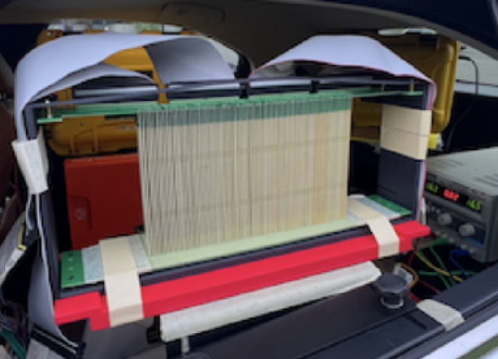
This dataset examines signal propagation in the 3.3 GHz frequency band and was collected at the AERPAW Lake Wheeler site from an unmanned aerial vehicle (UAV) at different altitudes (40 meters, 70 meters, and 100 meters), with multiple sample rates. IQ recordings were made using USRP B210 devices (20 ms intervals every 100 ms) at five fixed nodes. The dataset includes IQ samples for two channels reflecting the dual-channel configuration of the USRPs, GPS coordinates, and received signal strength (RSS).
Use cases include application in localization and tracking systems, studies of spectrum occupancy and RF environment analysis, and studies of interference management and channel estimation.
Example: signal localization
UAVs can be adopted for location-based applications and remote sensing networks by investigating the characteristics and performance of conventional approaches like Linear Least Square (LLS) algorithms, Nonlinear Last Square (NLLS) algorithms, and the Reinforcement Learning (RL)-based method as a localization scheme. Datasets like the one above can be used to train an RL agent to find a target location by measuring path loss derived from ray tracing and without predefined trajectory.